
Nature
Nineteen kilometres of island, almost all of it nature
Dunes, woods, salt marshes and the mudflats — almost everything is open freely or with a guide. We like to share it, and we explain why some parts are closed during the breeding season.

Natura 2000 and UNESCO
Room for nature
The Wadden Sea is on the UNESCO World Heritage List. Vlieland has protected dune and Wadden areas. Beach, woods, salt marshes and polders each offer a different view of that nature.
On Vlieland, Staatsbosbeheer manages around 4,000 hectares of nature, spread over 19 kilometres in length and an average of 2 kilometres in width. Almost all areas are open freely or with a guide; outside the breeding season the nature areas are freely accessible. Signs at the entrances show the access rules for each area.
For a walk or bike ride there are routes through the different landscapes. The access rules on the signs at the entrances determine which parts are open.
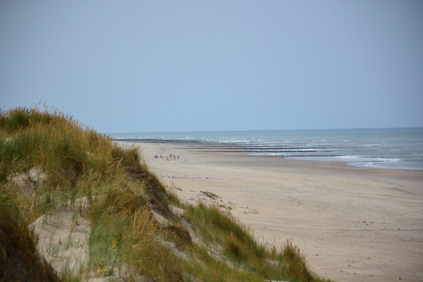
Photo: Paul Arps via Wikimedia Commons, CC BY 2.0
Dunes and woods
Dunes, woods and footpaths
Marram grass was planted from around 1870 to hold the drifting sand in place. From 1903, woodland was planted. This is how the landscape we know today gradually took shape.
The cycle paths are accessible to wheelchair users. They can be narrow in places, and the island is hillier than you might expect.
Bomenland has coniferous and deciduous trees. At the Oude Kooi lies an older patch of woodland, planted together with the duck decoy in 1898. The VVV describes various walking spots and routes.
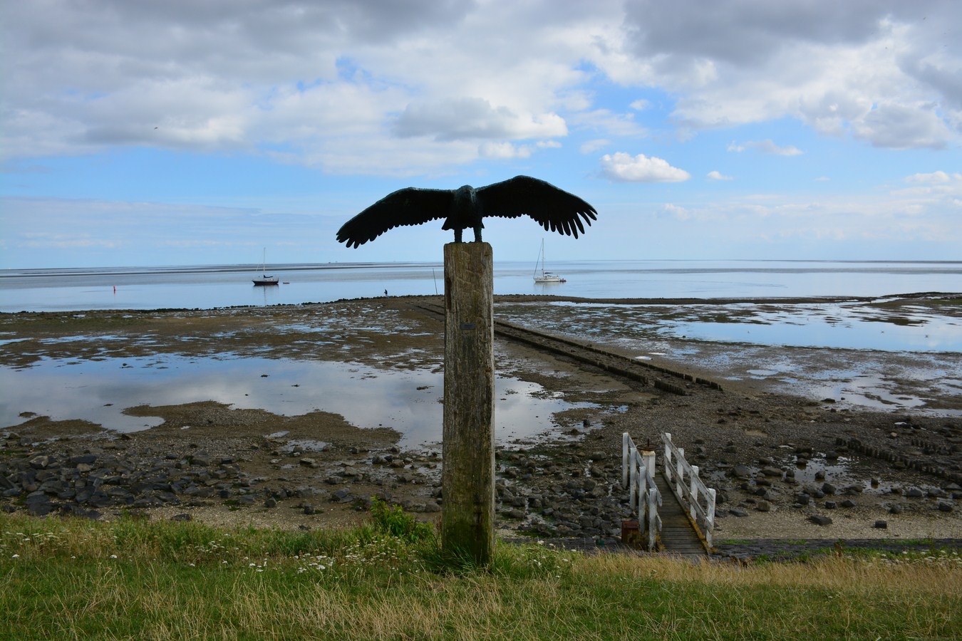
Photo: Paul Arps via Wikimedia Commons, CC BY 2.0
The Wadden Sea
A different landscape twice a day
At low tide, sand and mud flats fall dry; at high tide they are covered again. Worms and shellfish in the seabed are food for wading birds. That rhythm of ebb and flow changes the view throughout the day.
A guided excursion is a chance to see the mudflats up close. The guide chooses a route and departure time that suit the tide and conditions.
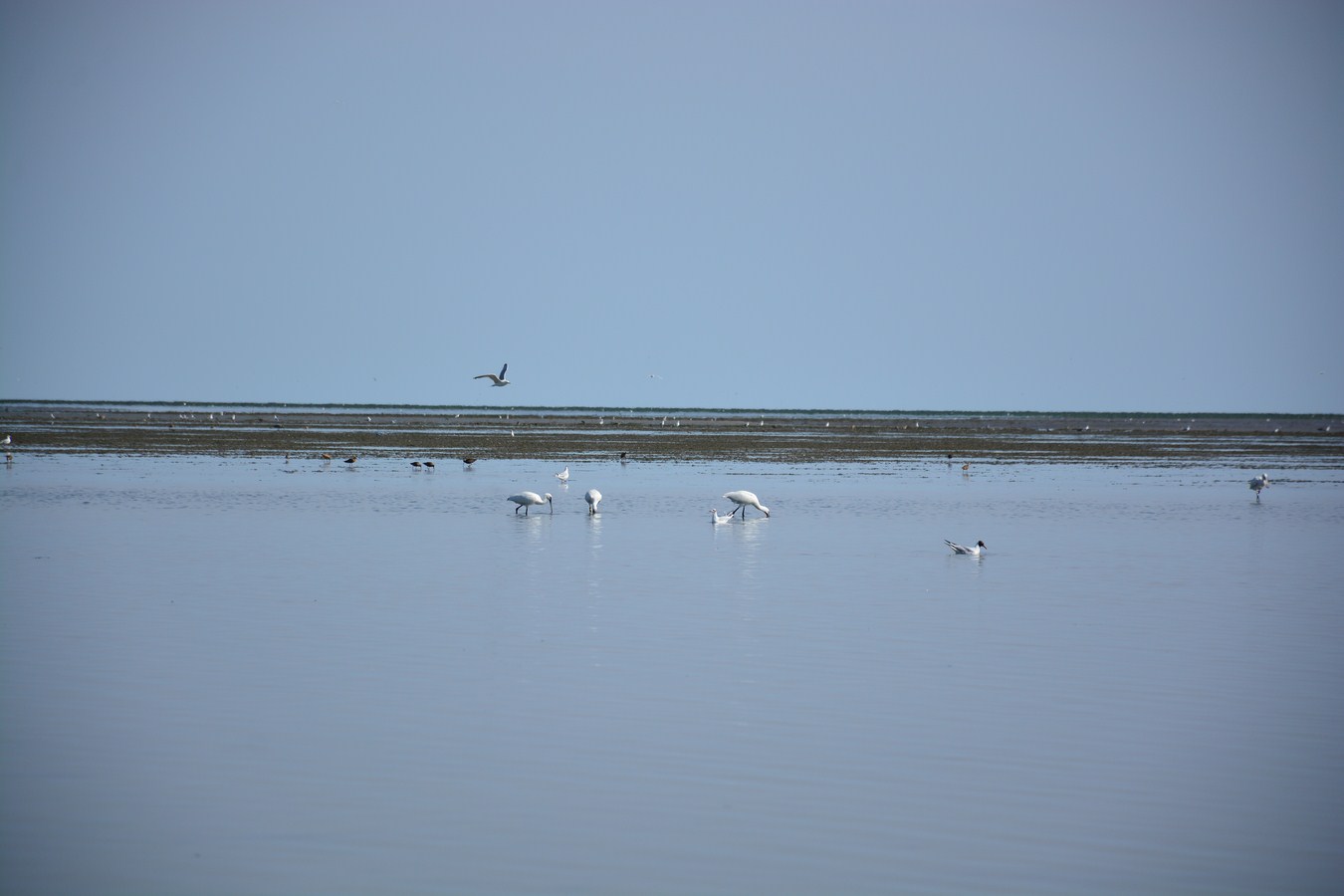
Photo: Paul Arps via Wikimedia Commons, CC BY 2.0
Birds
Birds in the polders and on the mudflats
Kroon's Polders consist of four diked polders. Birds come here to breed, rest and feed. The area can be viewed from the surrounding paths; guided excursions give access to special spots.
Staatsbosbeheer describes where dogs may run off the lead: on the beach and in the eastern part, including the woods around the village. West of those woods and in the village, dogs must be kept on a lead. Local signs show the rules and any exceptions.
During migration, many birds use the mudflats as a stopover. At Dodeman's Bol there is a bird hide from where you can watch birds feeding and resting.

Seals
Seals on the Richel
On the Richel sandbank between Vlieland and Terschelling, common and grey seals rest at low tide. Boats sail there from the harbour.
Several providers offer seal trips. Route, duration and departure time vary per trip. The skipper decides what is possible in the conditions; sightings of animals are never guaranteed.
Excursions to Kroon's Polders and Nieuw Kooi are announced by the De Lepelaar nature education centre and VVV Vlieland. A guide talks about birds, plants and how the area came to be.
Onto the mudflats or out to the seals with a guide from the village? See the excursions.
Source for landscape and walking spots: nature information from VVV Vlieland (in Dutch).
Source for access, dogs and excursions: Staatsbosbeheer visitor information for Vlieland (in Dutch). For an organised activity or event, Staatsbosbeheer asks for notification to the forester at least 6 weeks in advance.